|
I went to the Grand Canyon in August of 2004. On August 2nd I hiked
from the South Rim down the Kaibab Trail to Phantom Ranch, then along
the Colorado River to the Bright Angel Trail and up to Indian Gardens,
took a short detour to Plateau Point, returned to Indian Gardens, and
finally back up to the South Rim. It was a mostly overcast day which
made for great hiking, but less than perfect pictures.
The next day I acted like a tourist on the South Rim, stopping at the
various turnouts and overlooks. It was pretty cool to be able to look
down and see where I had been and the trails I had hiked. Unlike the day
before, the skies were clear and so were the pictures. I hope you
enjoy this virtual hike.
|
|
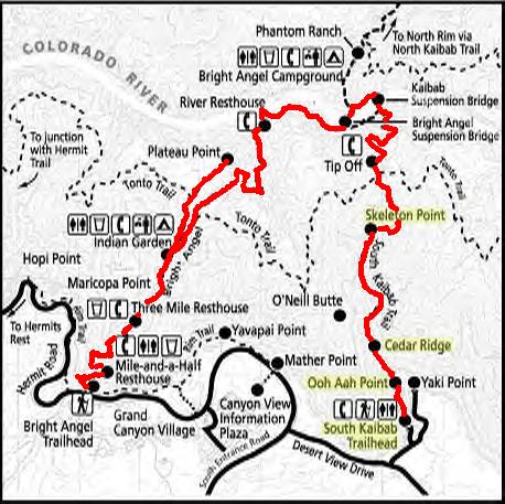
Map of South Rim trails with my shown route in red. 20 miles, 11 hours.
|
|
|
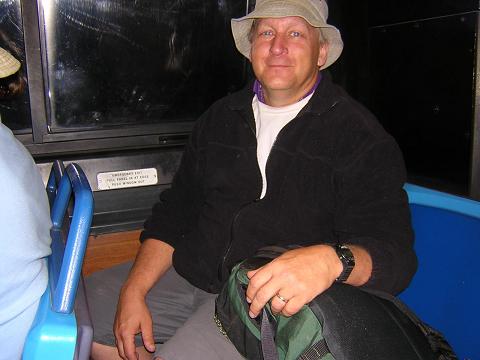
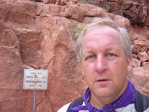
Me on the 5am shuttle bus from Bright Angel Lodge to the South Kaibab
trailhead. It was actually quite chilly at the time!
I was tired. I arrived at the park at about 11pm last night, having just
finished a two day survival course.
The campground was full, so I ended up sleeping in my car.
|
|
|
The National Park Service does their best to discourage people from
attempting what I am about to do.
I should probably mention that I run 3 miles a day, and that I spent
the previous week in Phoenix, hiking and getting used to the heat.
|

|
|
A warning to mere mortals...
My wife made me promise I wouldn't attempt
to hike to the river and back. As my wife, it is her duty to demand
such a promise. And as my wife, she knows this was a promise I would
break. She knowingly shakes her head...
|

|
|
I added this photo in 2006. I realized my comments above were quite cocky.
They were meant to be in fun. Nevertheless, I would hate to think that I may
contribute in any way to someone experiencing illness or death inside the
Grand Canyon. It does happen as described here:

Margaret died just a few weeks before my hike. Many people attempt a
rim-to-river-to-rim hike every day. Many have no trouble. Please, be in shape,
leave early, carry three times as much water as you think you'll need,
wear a brimmed hat, allow plenty of time, and stay on established trails.
|
|
I began my descent at about 5:30am. Not the best light for photos.
You can see part of the trail I will hike.
|

|
|
Down, down, down...
|
|
|
Every step is down...
|
|
|
Looking back up to the rim.
|
|
|
I actually had a little rain.
|
|
|
In truth, I hadn't planned to go to the
river. I was going to go part way down and take the Tonto trail over
to the Bright Angel trail. But with these overcast skies, it seemed
like a great opportunity to hike to the river.
|
|
|
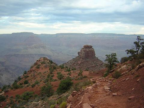
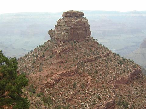
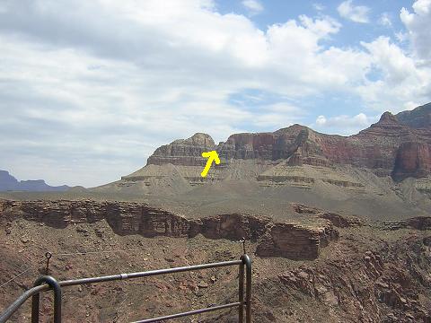
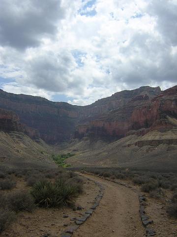
The trail below Skeleton Point.
|
|
|
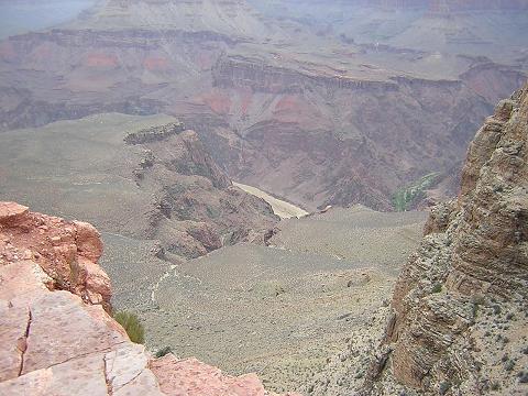
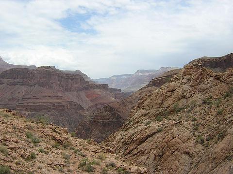
Looking from Skeleton Point to Plateau Point. I will return to the
South Rim via the Bright Angel trail through the wide canyon
below Plateau Point.
|
|
|
Some parts of this trail are not for the faint of heart.
|
|
|
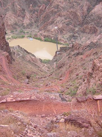
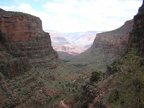
First view of the river...still very far away...
|
|
|
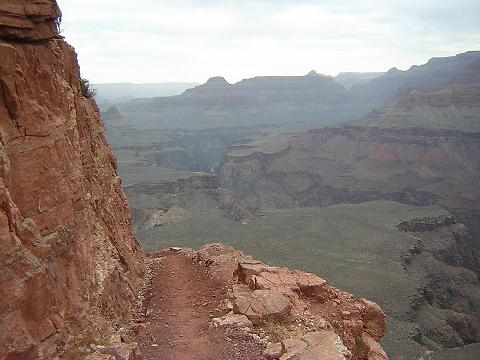
Cliff-hugging trail.
|
|
|
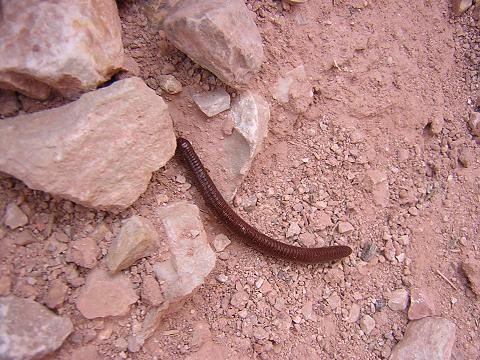
One of two millipedes I saw on the trail.
|
|
|
Not even half way down yet. And this is the easy part!
|
|
|
Natural arch. Do you know the difference between an arch and a bridge?
Answer: A bridge spans water, and arch does not.
|
|
|
Second of two composting toilets. No water. You actually go to the
second floor to take care of your business!
The Tonto trail crosses the Kaibab trail here.
|
|
|
Getting closer to the river, but still a long way to go. You can see
the river trail which I will take to the Bright Angel trail.
|
|
|
The first of two pack trains coming up the Kaibab trail as I was
descending.
|

|
|
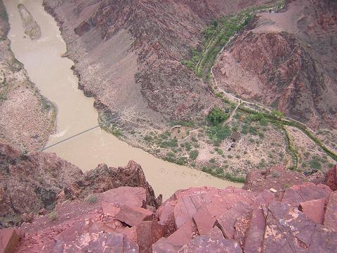
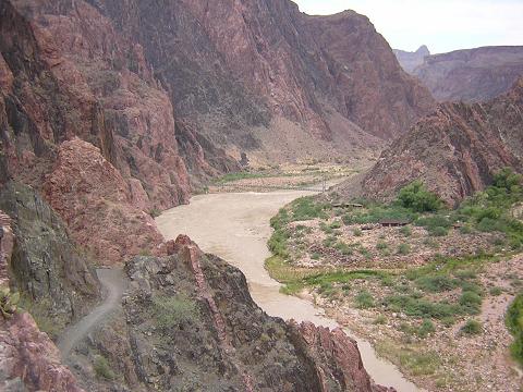
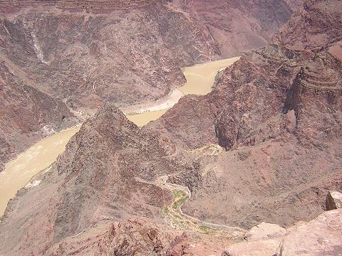
Looking down (almost straight down!) to the silver bridge and
Phantom Ranch.
|
|
|
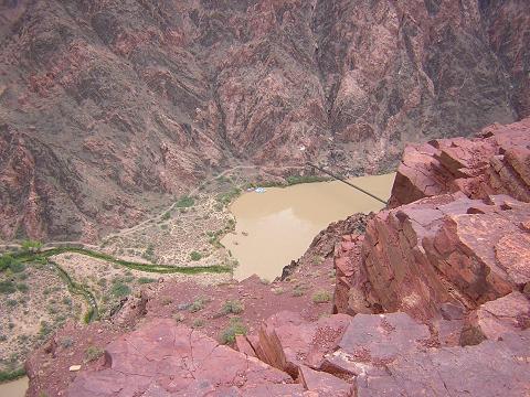
Looking down to the black bridge and Phantom Ranch.
|
|
|
Pack train on the trail, rafts in the river.
|
|
|
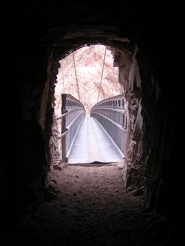
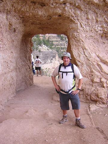
The tunnel which leads to the black bridge.
|

|
|
Above the black bridge, looking downriver to the silver bridge.
|
|
|
Emerging from the tunnel onto the black bridge.
|
|
|
Me on the black bridge.
|

|
|
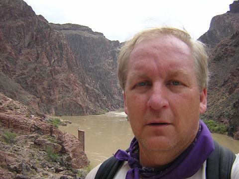
On the north shore of the Colorado River, looking up river.
|
|
|
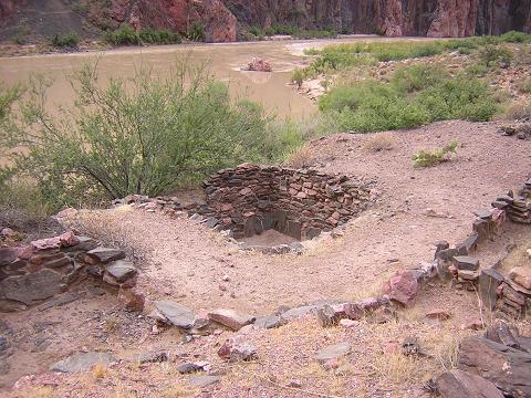
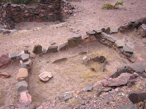
Indian ruins near the river.
|
|
|
Indian ruins near the river.
|
|
|
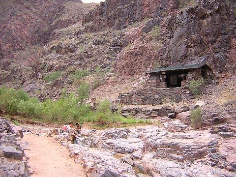
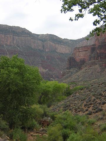
Bright Angel Creek below Phantom Ranch. A true oasis.
|

|
|
The phone at Phantom Ranch. No coins. Checking in with the office...Hi Bessie!
Have cheese crackers, will travel.
|

|
|
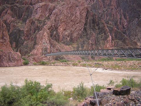
The silver bridge.
|
|
|
Along the river trail with the silver and black bridges in view.
|

|
|
River resthouse.
|
|
|
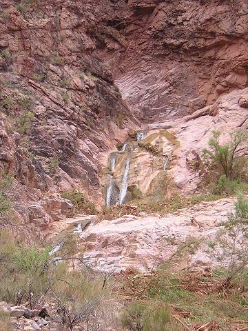
More water than I expected.
|
|
|
Long climb up. It's just the beginning.
|
|
|
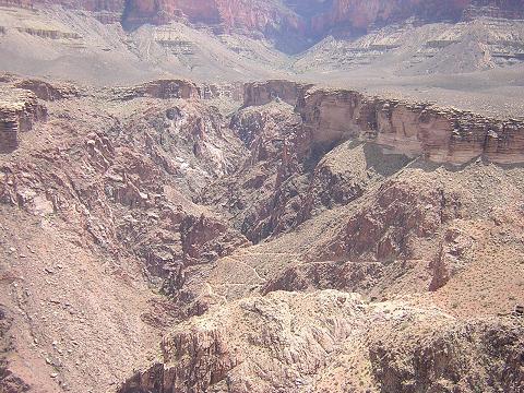
Twisted landscapes.
|
|
|
Approaching Indian Gardens.
|
|
|
Looking back from just before Indian Gardens.
|
|
|
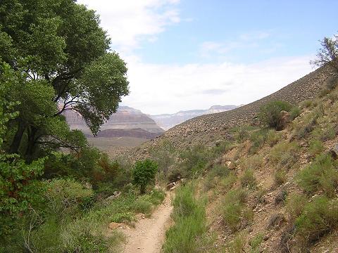
Enroute to Plateau Point (1.5 miles from Indian Gardens.)
This was the warmest part of the hike: the trail
is fully exposed to the elements.
|
|
|
Approaching Plateau Point.
|

|
|
Colorado River and Bright Angel Trail from Plateau Point.
|
|
|
Bright Angel Trail from Plateau Point.
|
|
|
Skeleton Point from Plateau Point (I was there this morning.)
|
|
|
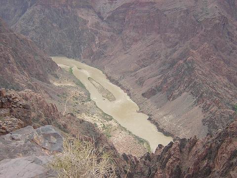
Colorado River from Plateau Point.
|

|
|
Me at Plateau Point. The last time I was here was 1979, 25 years ago.
Plateau Point hasn't changed, but I have!
|

|
|
Looking west from Plateau Point.
|

|
|
Heading back to Indian Garden from Plateau Point.
|
|
|
Thermometer at Indian Garden.
|

|
|
Well past Indian Garden on my way to the top. I felt great until
mile 17 when I really bonked...
|
|
|
Cool...
|

|
|
Also cool...
|

|
|
This tunnel is just a hundred yards or so from the top.
I made it!
|
|
|
Red dust from the Grand Canyon. Fortunately, showers are available
at the campground!
|

|
Begin Day 2
|
|
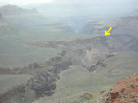
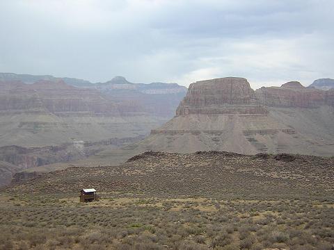
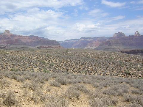
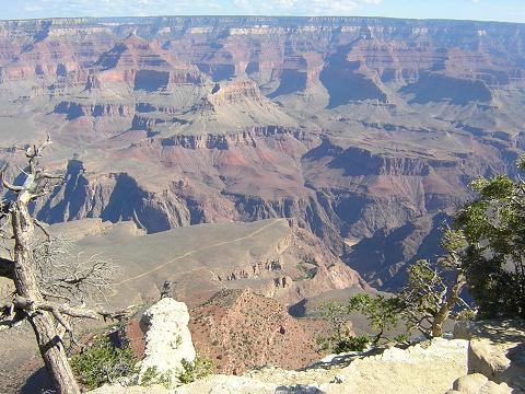
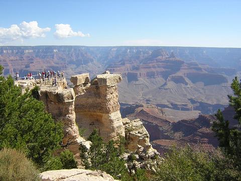
Plateau Point and a tiny glimpse of the river from the South Rim.
|
|
|
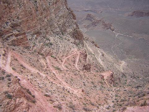
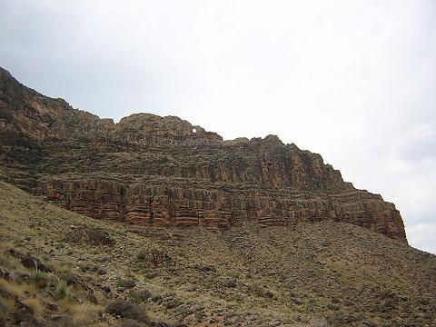
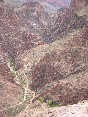
Kaibab Trail from the South Rim.
|
|
|
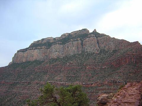
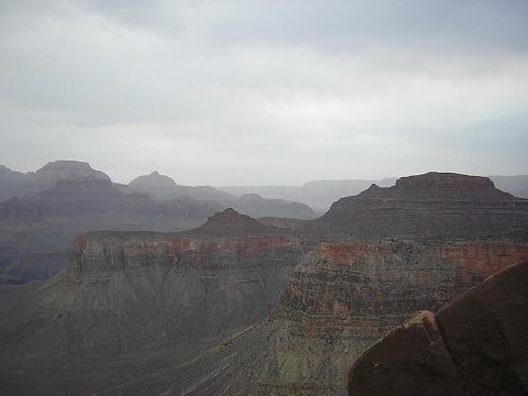
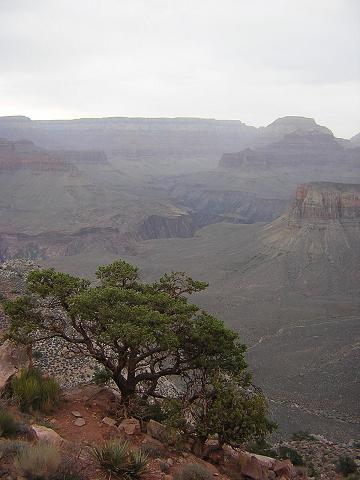
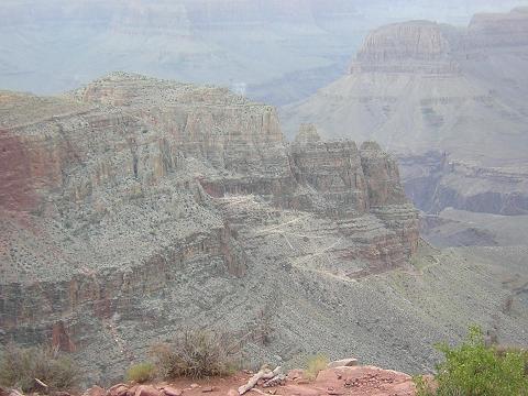
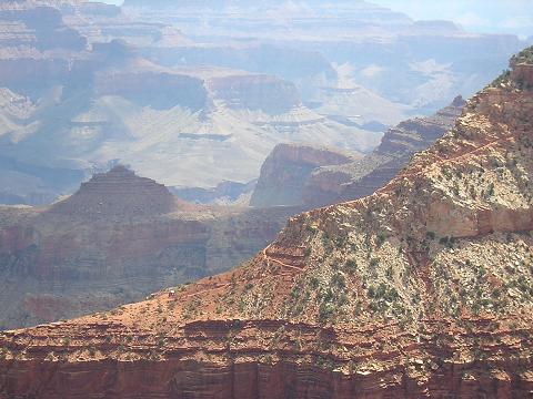
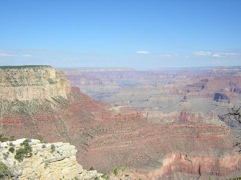
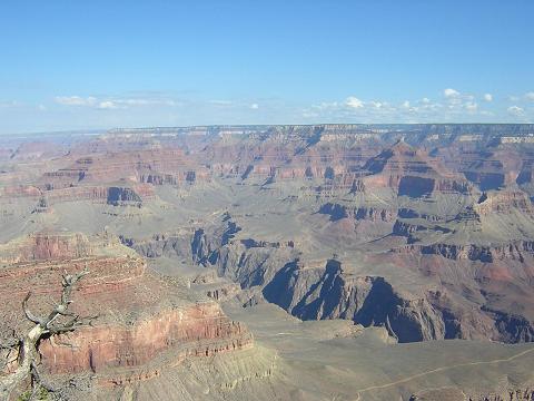
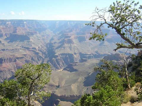
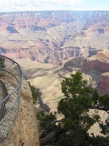
I'll stop talking now and let you just enjoy the scenery...
|
|
|
|
|
|
|
|
|
|
|
|
|
|
My home page at
http://www.billqualls.com
Copyright © 2004 by Bill Qualls.
Last updated March 10, 2006.
|