|
The High Desert National Recreation Trail is a relatively unknown
trail in the Angeles National Forest. My hike today would take in a
significant portion of that trail as well as a portion of the
Pacific Crest/Silver Moccasin trail. I would hike from Vincent Gap
to South Fork campground to Islip Saddle to Little Jimmy campground
to Mt. Baden-Powell to Vincent Gap. This is a total of 21.9 miles,
with an elevation gain of over 4800'. I completed the hike in just
under 12 hours. If you want a hike which will at once kick your butt
and elevate your spirit, this is it, but you better be in good shape!
|
|
Here's a map of the High Desert National Recreation Trail.
Go here for a larger map.
|
|
|
I awoke at 3:30am and left my sister's home in Garden Grove at
3:50am to arrive at Vincent Gap at 5:40am. My hike began on the
Angeles Crest Highway at Vincent Gap, elevation 6565', at 5:50am.
|

|
|
From Vincent Gap, the High Desert trail goes down, down, down
5.2 miles to South Fork campground. This portion of the trail
is also known as the Manzanita trail.
|
|
|
One of several large washes which I assume are caused by
avalanches and seasonal flooding, the same forces which regularly
destroy large sections of the Angeles Crest Highway: on this day
the highway was closed between Vincent Gap and Islip Saddle.
|

|
|
One of several streams which cross the trail.
|

|
|
The trail across another large wash.
|

|
|
Still going down...you can tell by the shadows that it is
still early in the morning.
|

|
|
A feeble attempt at capturing the twisted landscape along
this trail. This hike would be a geologist's dream-come-true.
|

|
|
Near Big Rock Creek Camp.
|

|
|
More amazing geology.
|

|
|
Approaching South Fork campground (accessible by car),
elevation 4560'. The trail junction is at the north end
of the campground, at the campground entrance. To the far
left is the trail to Devil's Punchbowl park.
|

|
|
South Fork campground was much prettier than I remember.
(It's been about 8-9 years since I was here.) Here I am
looking south up the canyon which leads to Islip Saddle.
|

|
|
South Fork campground is "dry" in that there is no water
available at the campsites. But there is plenty of stream
water at the south end of the campground. The trail to
Islip Saddle crosses the stream once only, and begins to
climb. You'll see and hear the stream many times, far below
you, but you won't cross it again.
|

|
|
On the trail from South Fork campground to Islip Saddle.
|

|
|
My first view of Islip Saddle. It was spectacular.
|

|
|
Looking back down the canyon towards South Fork as I continue
to Islip Saddle. You can see the trail I have taken.
|

|
|
The view towards South Fork campground from Islip Saddle on the
Angeles Crest Highway, elevation 6593'. That was a 2033' elevation
gain over 5.2 miles, an average grade of 7%! I've gone 10.4 miles so far -
not even half way yet!
|

|
|
Looking west towards Mt. Waterman from Islip Saddle.
At Islip Saddle I met the
Pacific Crest Trail, which I would follow for the remaining
11.5 miles of my hike. This is also the Silver Mocassion trail.
|

|
|
The view towards South Fork campground from just below Little Jimmy
campground. I love the desert views on this hike, and it's cool
to be able to see where you were earlier in the day! At this point
I was overcome by the beauty and the opportunity to be here and I
stopped to offer a prayer of thanksgiving.
|

|
|
Little Jimmy camground (hike in only), elevation 7500'.
|

|
|
I camped here several times as a boy scout, once with my high school
outdoors club (the Cal Hi Hikers) in the fall of 1973, and once with
my son in 1995. It is just as I remember it.
|

|
|
On the trail from Little Jimmy campground to Little Jimmy spring.
Last year's forest fires (or was it two years ago?) went around
Little Jimmy. The campground was spared (thankfully) but there is
significant damage in the area.
|

|
|
Little Jimmy spring. How many hikers have filled their bottles here
over the years? I did so myself for the first time in 1968 as a young
boy scout, and ten years later my wife and I ate lunch here.
|

|
|
The view from Windy Gap: definitely not as I remember it.
|

|
|
Crystal Lake from Windy Gap. Although there is significant damage
from the fire, I was amazed at how far I could see. I don't think
I have ever seen so far from here before.
|

|
|
I continue on from Windy Gap towards Mt. Baden-Powell. Yet another
view of the desert, looking towards South Fork campground where I
have traveled from.
|

|
|
More fire damage on the way to Mt. Baden-Powell.
|

|
|
Still more...
|

|
|
And more...looking towards Crystal Lake.
|

|
|
Here's a view from almost the same spot taken in May 2001.
|

|
|
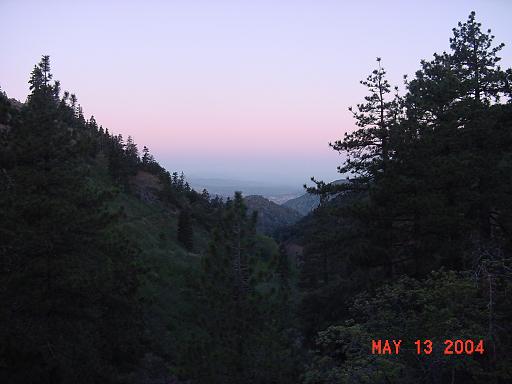
Mt. Williamson as seen from the trail between Windy Gap
and Mt. Baden-Powell.
|

|
|
On the trail. I saw sixteen hikers today: all were hiking
the Pacific Crest Trail. This is about the time the PCT hikers
pass through this area.
|

|
|
It's a long hike from Little Jimmy to Mt. Baden-Powell, uphill
virtually every step of the way, and I
had already hiked over 12 miles by the time I got to Little Jimmy!
|

|
|
Wide-spread fire damage.
|

|
|
Another view of Mt. Williamson.
|

|
|
Another desert view.
|

|
|
Same spot, three years ago.
|

|
|
On the trail...
|

|
|
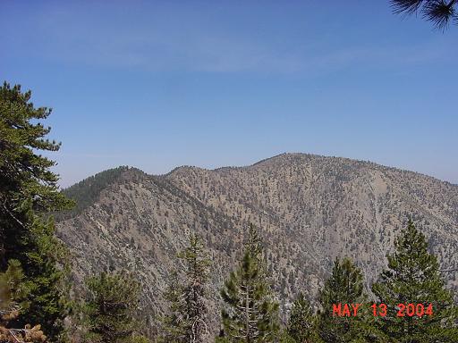
First view of Mt. Baldy.
|

|
|
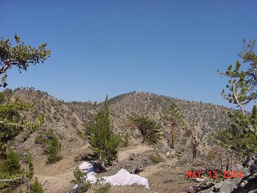
First view of Mt. Baden-Powell. Farther away than it looks...
|

|
|
Mt. Baden-Powell
|
|
|
Mt. Baldy
|

|
|
Looking towards Big Rock Creek Camp. I was clear down there!
|

|
|
Along the ridge to Mt. Baden-Powell. Patches of snow caused
concern, but no real danger.
|
|
|
I followed the ridge to the top of Mt. Baden-Powell to avoid
the patches of snow which lingered on the north-facing slopes.
|

|
|
Mt. Baldy from Mt. Baden-Powell.
(Post script: I climbed Mt. Baldy two days later. Go
here for a report.)
|

|
|
Spectacular desert views from Mt. Baden-Powell, elevation 9399'.
|

|
|
The monument to Lord Baden-Powell, founder of Scouting.
|

|
|
There were some large patches of snow on the way down to Vincent Gap.
These weren't a problem for me as I could see the trail below me so
I could short-cut as necessary. They were a much bigger problem for
the PCT hikers coming up the trail: the snow patches weren't
dangerous, just frustrating, as those going up couldn't see the
trail above them so they had little choice but to go through the
snow.
|

|
My California hikes
My home page
Copyright © 2004 by Bill Qualls.
Last updated May 14, 2004.
|