Much of the hills adjacent to Whittier and La Habra are now set aside as a nature preserve. So trails which were once the domain of rogue cross country runners are now legitimately open to the public. I couldn't be more pleased!
I parked at the Hellman Canyon trail head, which is on Greenleaf, just north of Beverly in Whittier. I hiked the Hellman Park Trail (1.1 miles) to the west end of the Rattlesnake Ridge trail (1.0 miles), then east on the Rattlesnake Ridge trail (1.5 miles) to the Mariposa Trail (1.3 miles) to the car (total 4.9 miles).
It's definitely "urban" wilderness, but it's wonderful. Unfortunately, it was a hazy day so the pictures aren't as clear as I would like. But when you consider I was hiking January 1st in shorts and a t-shirt, it's pretty amazing! I wish this network of trails had been around when I was a student at Whittier College. For more information and downloadable topo maps see the home page of the Puente Hills Landfill Native Habitat Preservation Authority at http://www.HabitatAuthority.org. Go here for report of another hike in the same preserve.
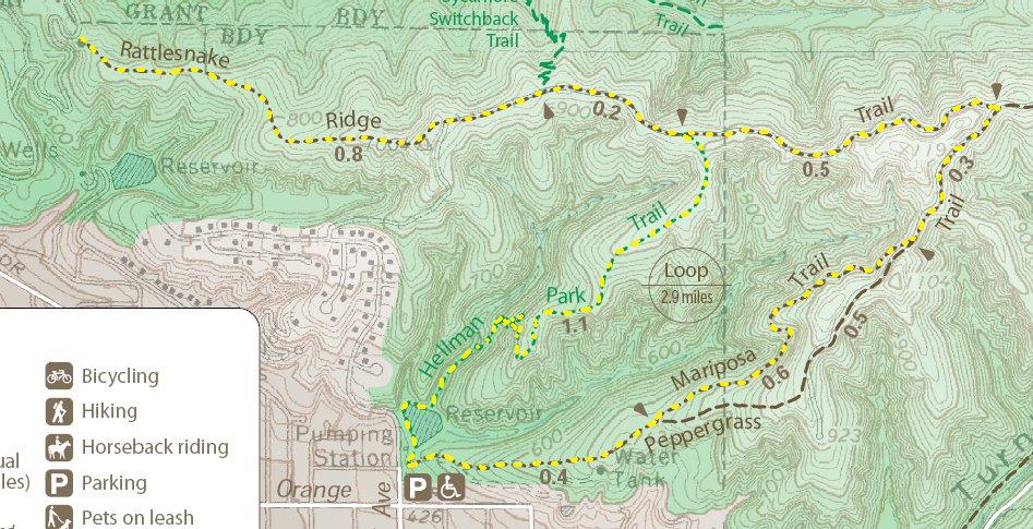
#0. My route.

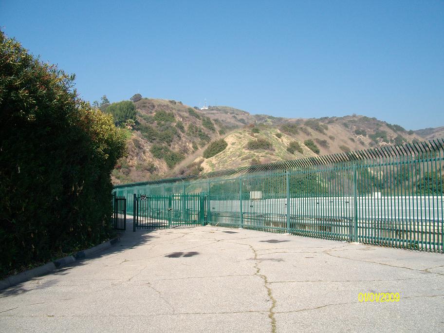
#1. This is the trailhead located on Greenleaf just north of Beverly.
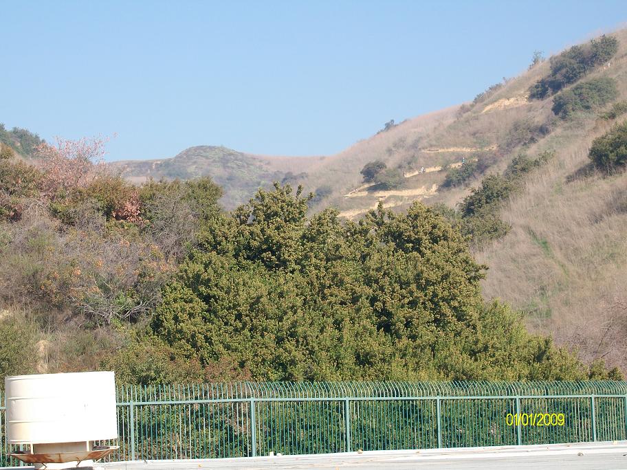
#2. Go to the left and through the gate for the Hellman Park Trail.
#3. Switchbacks ahead. It may be urban wilderness, but it's still a workout.
#4. Just below the switchbacks.
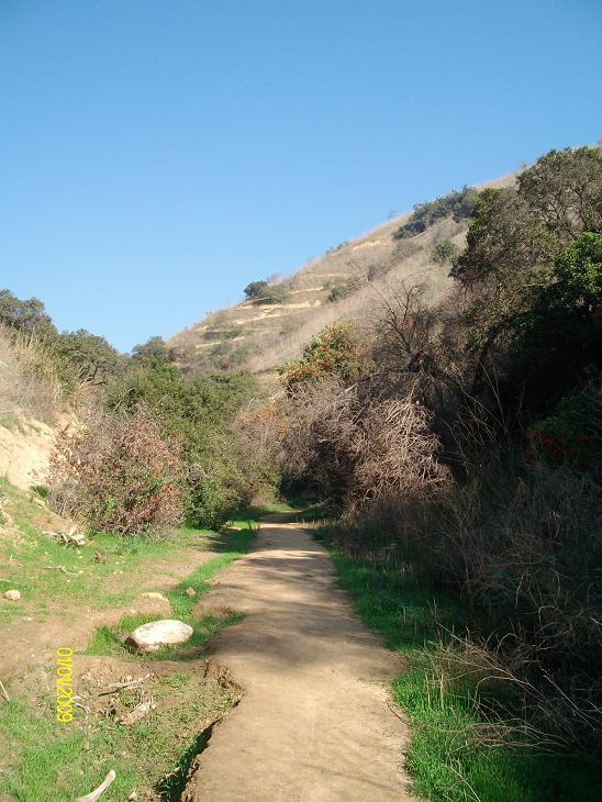
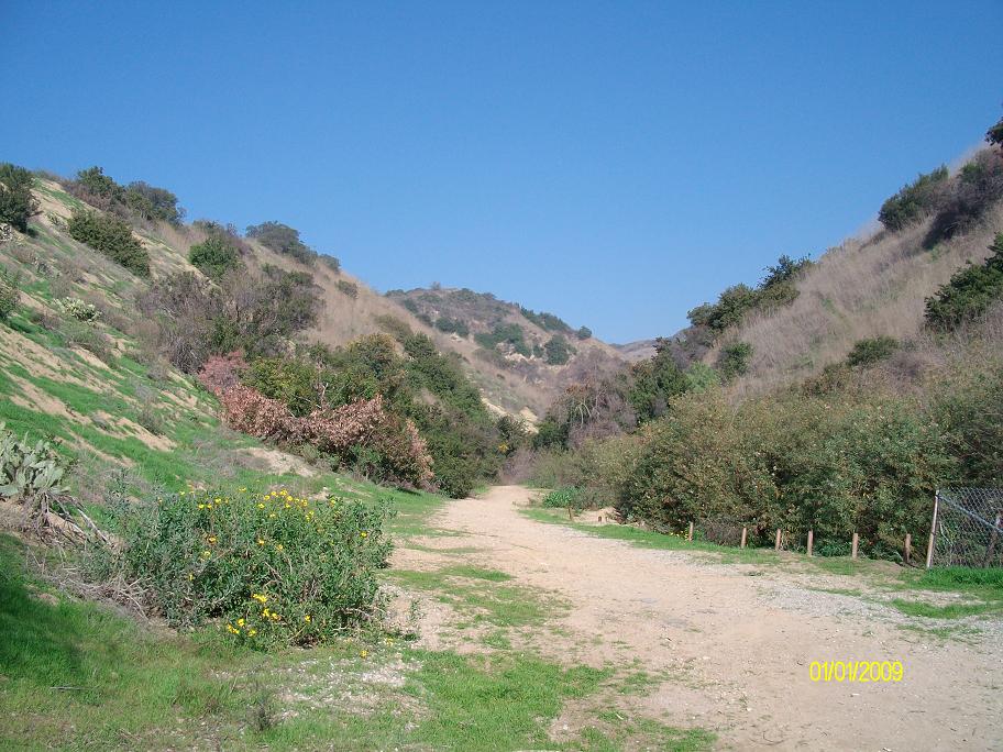
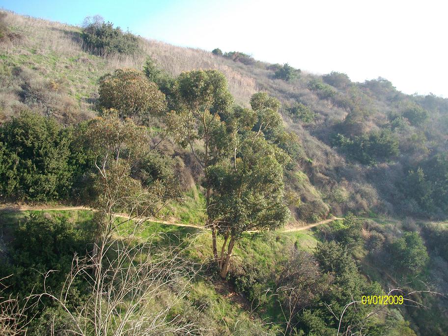
#5. Nice canyon.
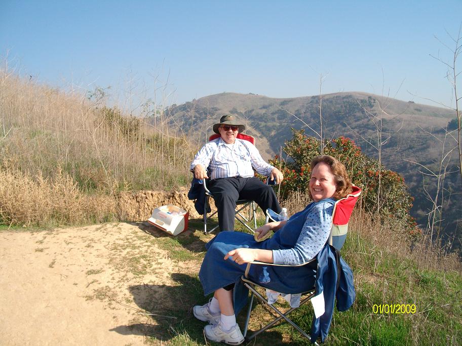
#6. So I come across these two about a half mile from the trailhead. They had carried a cooler and chairs up here where they sat and enjoyed the view. Smart folks!
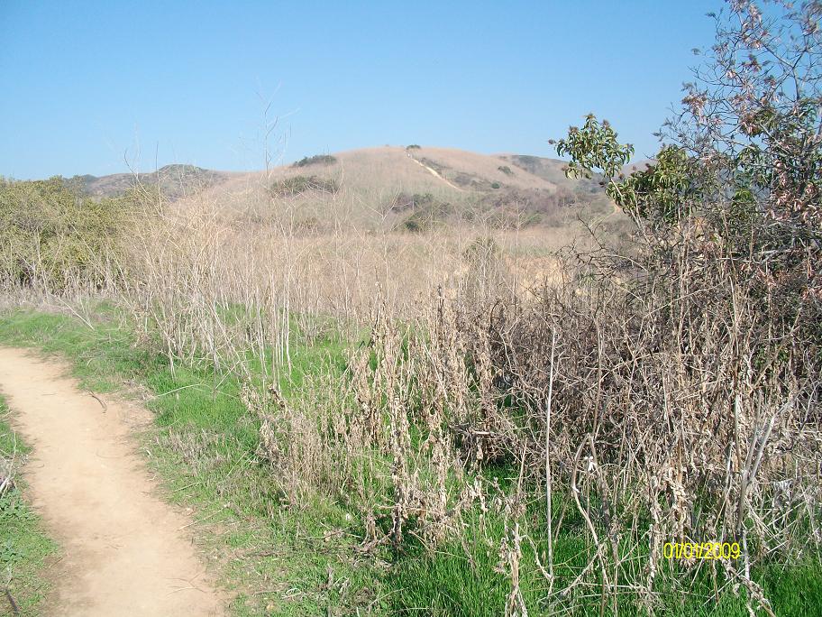
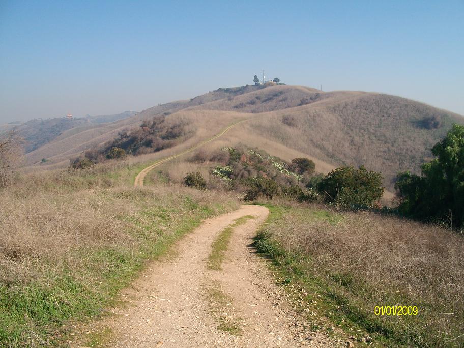
#7. You can see where I'm headed.
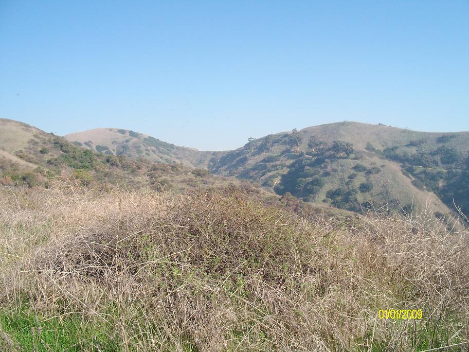
#10. Across the canyon is the Mariposa trail which I will take on the return trip.
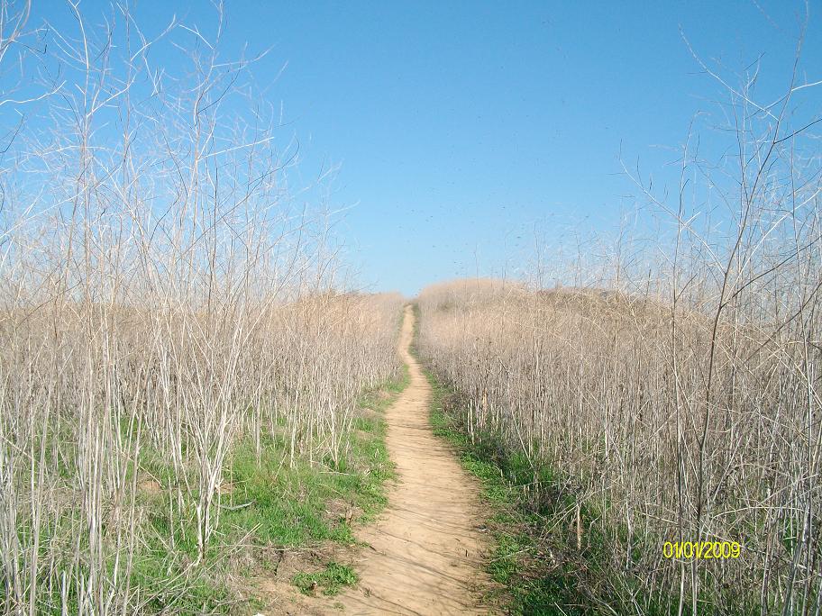
#11. These weeds are taller than me. Just waiting for a spark...
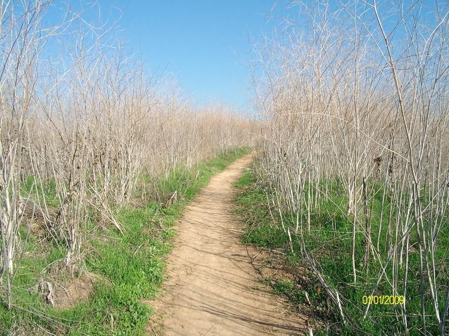
#12. Narrow trail surrounded by weeds.
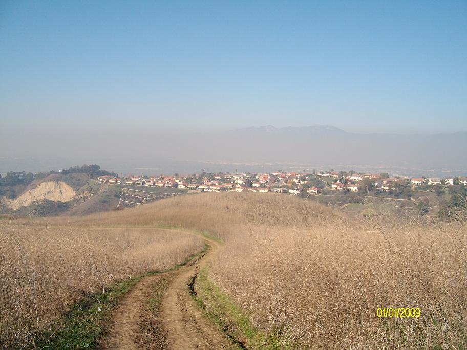
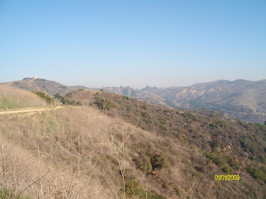
#13. Looking the other direction, towards the L.A. basin. Hazy day today.
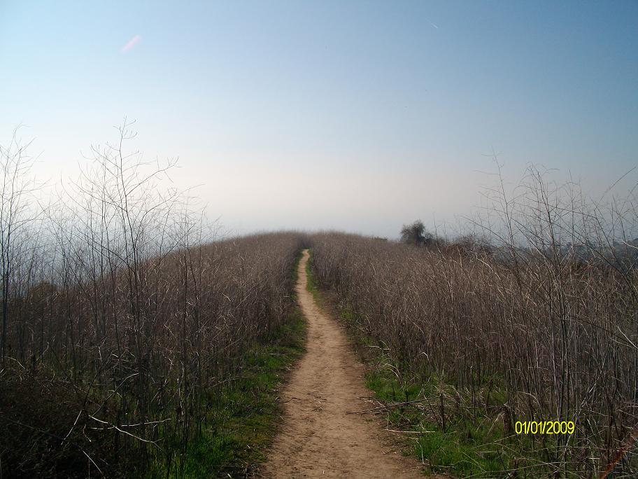
#14. Almost to the Rattlesnake Ridge trail.
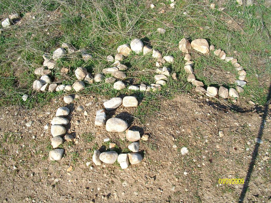
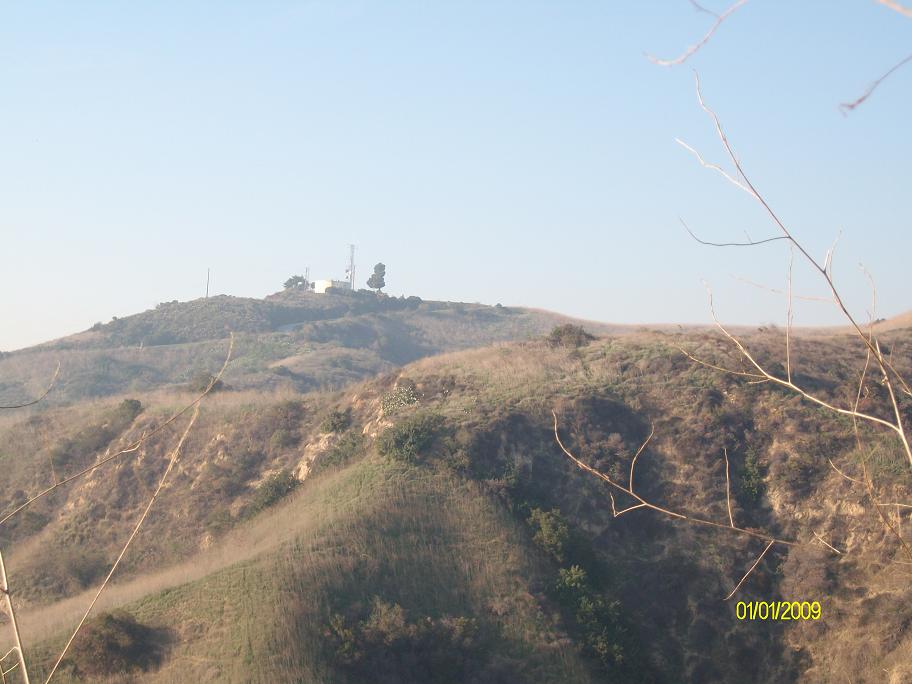
#15. Wasn't expecting to see this!
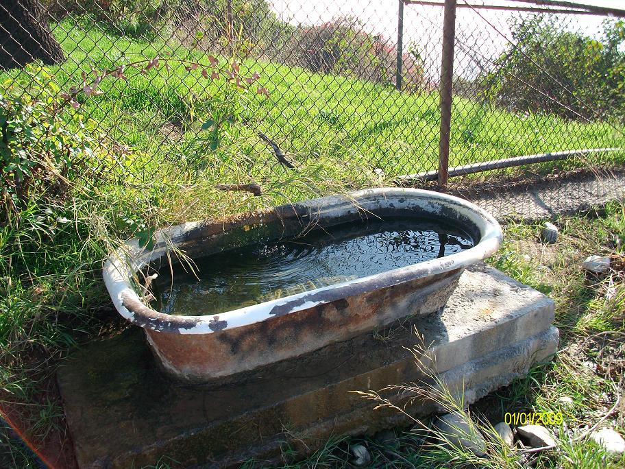
#16. Behind one of the water tanks on Rattlesnake Ridge was this bath tub! I bet it's a neat place to watch animals at night. I can think of a few days as a cross country runner when you might have found me in this tub if I had known about it!
#18. Heading west on the Rattlesnake Ridge trail, descending from the main watertank.
#20. The west end of the Rattlesnake Ridge trail.
#21. ...Great.
#22. Looking east on the Rattlesnake Ridge trail.
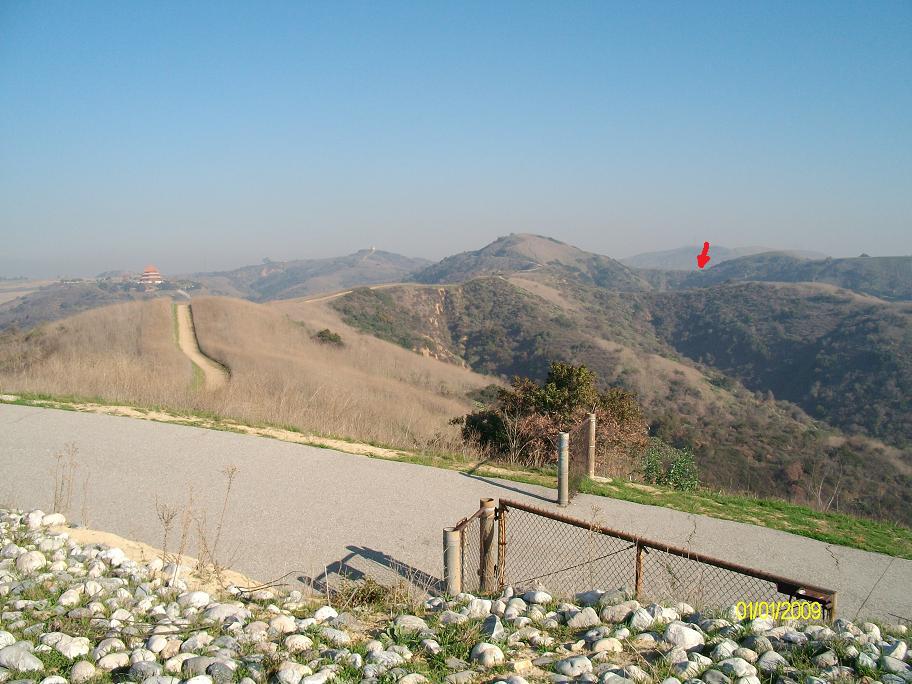
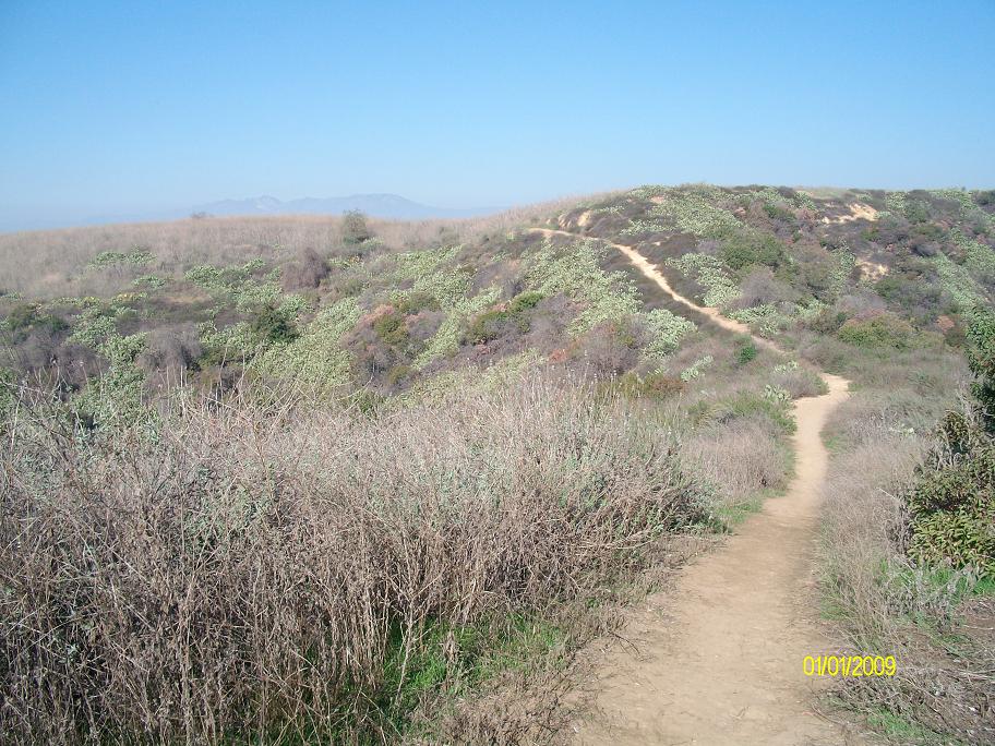
#23. The arrow shows where the Mariposa Trail meets the Peppergrass Trail.
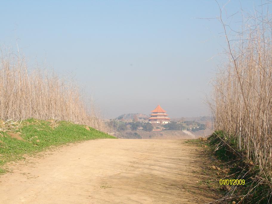
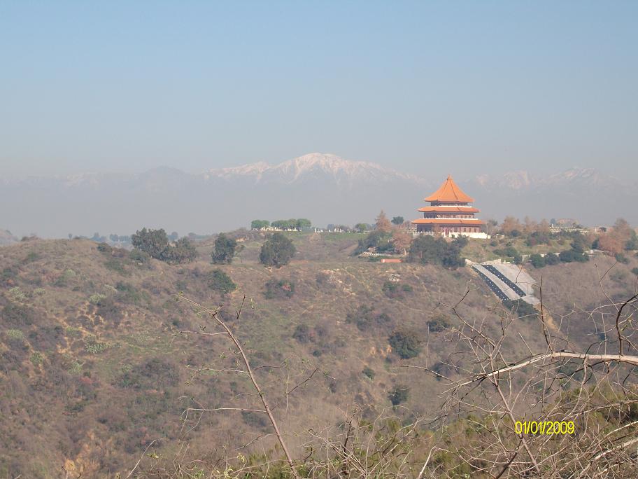
#24. Pagoda.
#25. The road on the right is Turnbull Canyon road.
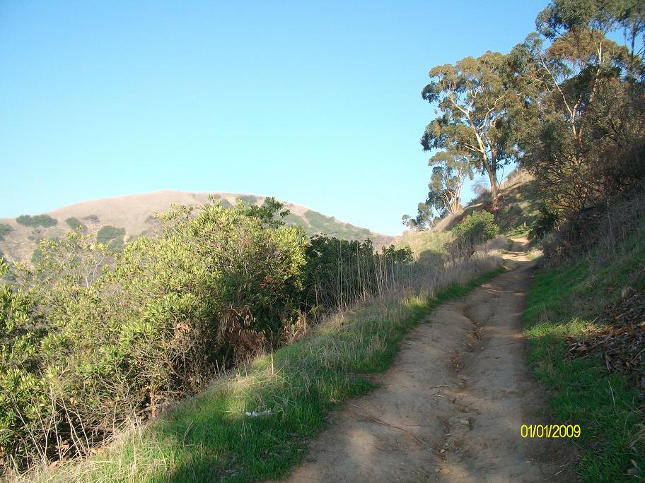
#26. On the Mariposa trail.
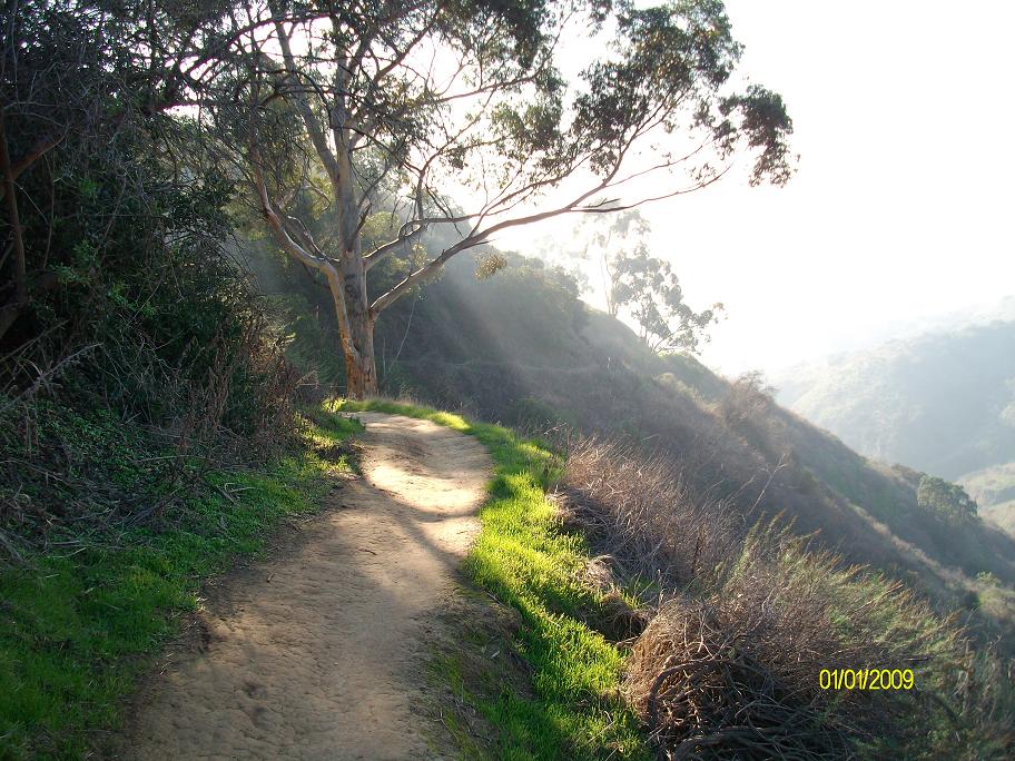
#27. On the Mariposa trail.
#28. On the Mariposa trail.
#29. The water tank from which I took photo #23.
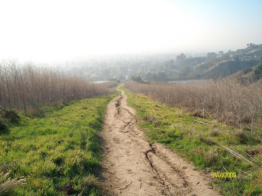
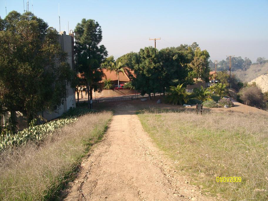
#30. Home stretch.
Copyright © 2009 by Bill Qualls. Last updated Jan 01, 2009.
Back to my survival page.