


|
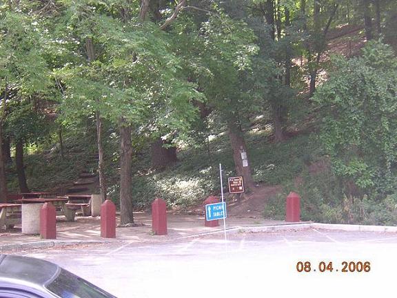
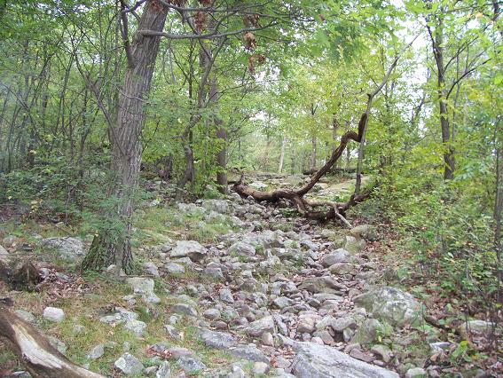
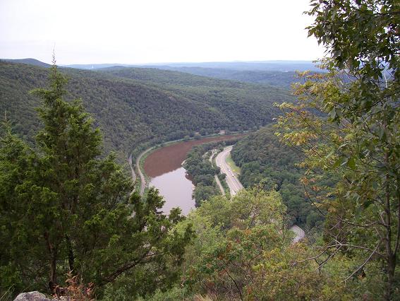
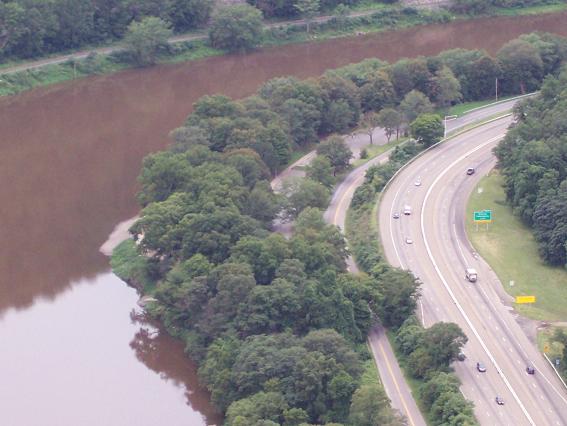
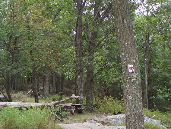
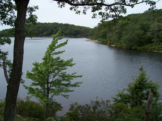
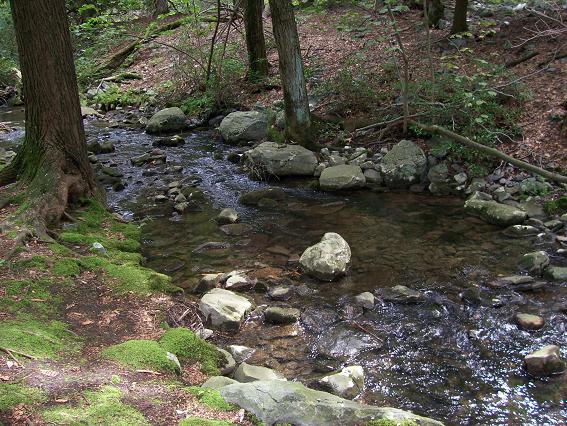
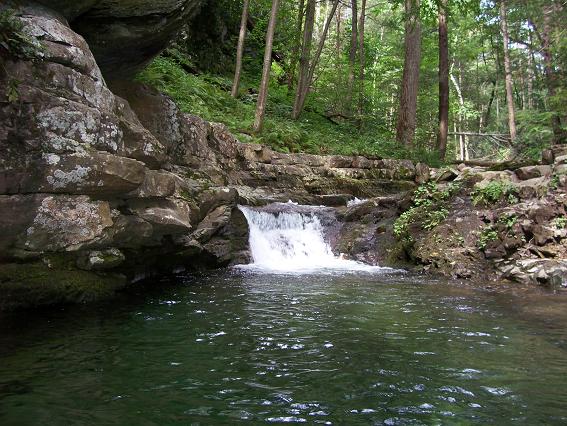
I am currently in New Jersey on business. Due to a change in my client's schedule, I had an unexpected day off on August 31st, so I went for a hike. I drove to Delaware Water Gap National Recreation Area and parked at the Kittatinny Point Visitor Center. From there I hiked parallel to eastbound I-80, through the underpass, then to the right to the rest area where I took the red dot trail to the top of Mt. Tammany. From the top of Mt. Tammany I took the blue dot trail to the Dunnfield Creek trail (green dot), then southwest about a quarter mile to the Appalachian trail. I took the Appalachian trail northeast to Backpacker Site 2 and Sunfish Pond. I then hiked around Sunfish Pond, then took the Dunnfield Creek trail southwest, paralleling and finally joining the Appalachian trail, then to the Dunnfield parking lot, back under I-80, and back to Kittatinny Point. Total about 12 miles in about 8 hours including breaks. Go here for a map of my route and surrounding trails. The weather was overcast, which makes for good hiking but less than perfect pictures. Update June 2007 - I found some links to trail descriptions and maps as PDFs: |
|
|
|
| Copyright © 2006 by Bill Qualls. Visit my home page at http://www.billqualls.com. | |